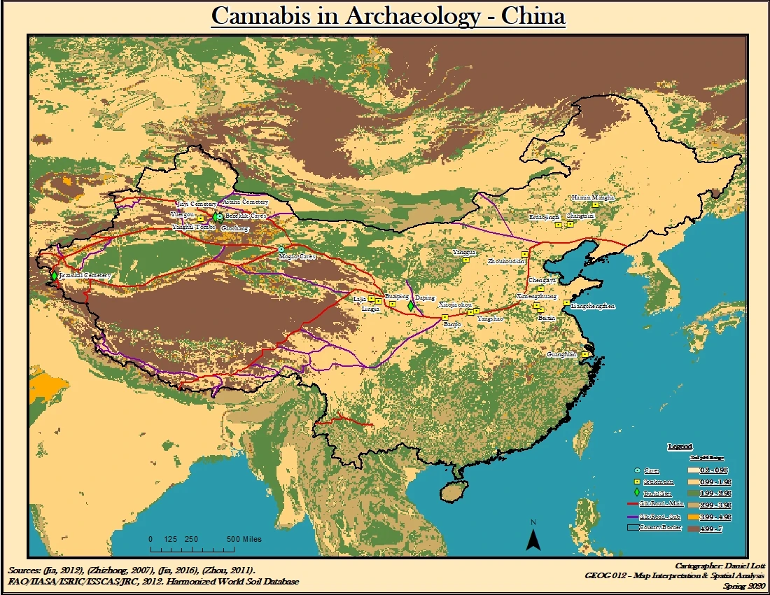
Geospatial work
Maps and spatial analysis bring another perspective to archaeological questions and landscape interpretation.
I use maps and archaeological evidence to explore how people, plants, and landscapes have shaped one another over time.
Mapping, making, and observing offer different ways to understand the relationships between people and their environments.
Maps and spatial analysis bring another perspective to archaeological questions and landscape interpretation.
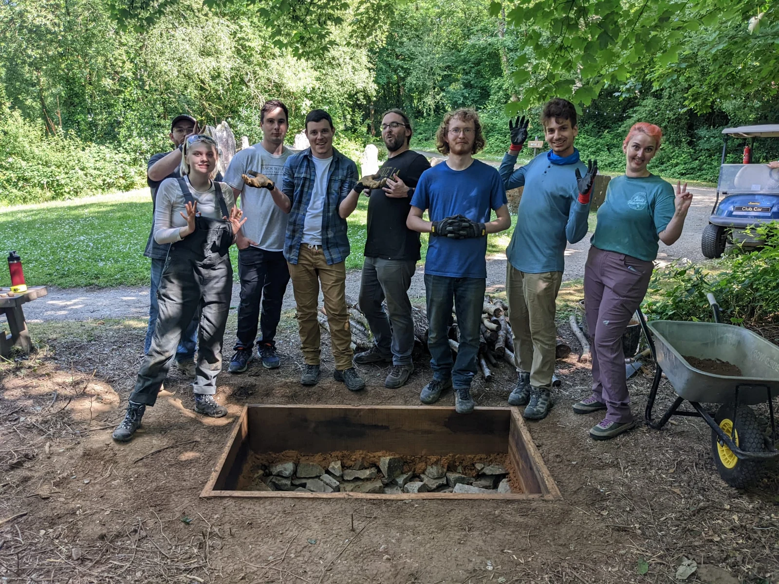
Working with materials and processes creates opportunities to explore how things were made, used, and understood.

Photographs and recollections preserve both the work of an expedition and the everyday experience of life in the field.
Shared meals, camp routines, friendships, and quiet moments belong to the story of fieldwork too. Field Notes will bring together photographic essays, experiment updates, films, and recollections from the places I have worked.
Retrospective accounts can draw on photographs and memory when original field records are unavailable. Approximate dates and uncertain details will be identified within each account.
My background brings together anthropology, archaeology, GIS, and education. Now based in Tokyo, I teach while continuing my graduate studies in Applied Geographic Information Systems and Technologies at UCLA.
This is a place to gather that work—alongside the photographs, experiments, and questions that keep it moving.
More about Daniel →My research interests include archaeobotany, plant dispersal, historical soils, and the ways geospatial methods can help interpret relationships across time and place.
I’m interested in connecting archaeological evidence with spatial analysis to explore these questions across time and place.